Driving safely with ADAS map speed limits
Speeding has been a fatal issue for many drivers. In order to counter this, it is vital we employ technology to make driving safer and comfortable for drivers – which is why we developed the TomTom ADAS Map. But how do we incorporate speed limits accurately for a digital map?
With the European legislation aiming to equip all cars with the Intelligent Speed Assistance (ISA) by 2022 and the New Car Assessment Programme (NCAP) safety rating, we can help combat the issue of speeding. This is where TomTom’s ADAS (Advanced Driver-Assistance Systems) Map comes in: it’s a critical component to ensure the driver’s safety for vehicles with driver-assistance levels, from L0 to L2.
Speeding
The importance of speed limits goes back to the root problem. Speeding is one of the main causes of traffic deaths and injuries.
According to the European Commission, speeding is a contributing factor in 30% of fatal road accidents.
This is similar in the United States, where 26% of all traffic fatalities were speeding-related in 2018, killing 9,378 people, as shown by the National Highway Traffic Safety Administration (NHTSA).
Speeding not only reduces the amount of time the driver has to react in a dangerous situation, but it also increases vehicle stopping distance, and reduces the ability of certain road safety structures from protecting vehicle occupants in a crash.
Combating the problem with speed limit information
One way to mitigate the problem of speeding is by employing speed limit information. Usually delivered through a digital map or a camera, this information is useful to further reduce the possibility of human error, and therefore avert accidents or diminish the harm they cause.
In response to this problem, various companies and organizations have been developing systems which would help combat this use. For example, NCAP – very well known in Europe and Asia – has awarded additional safety points to cars based on systems to counter speeding. NCAP assesses so-called speed assist systems, which would inform the driver of the present speed limit, give a warning when speeding, and adjust to the new speed limit.
The European legislation is taking another step further by aiming for all cars to be equipped with ISA, – a safety feature that makes sure drivers don’t go over a given speed limit by using a combination of cameras and GPS – which would be mandatory in new European cars starting 2022. This includes passenger cars, light trucks and heavy commercial vehicles.
The use of cameras for traffic sign recognition
As mentioned above, using cameras is one way of delivering speed limit information – however, sometimes they can misinterpret them or have an obstructed view. Camera-based image recognition can thus lead to errors when the camera cannot correctly recognize speed limit signs.
For example, speed limits signs from adjacent roads – such as a petrol station next to a highway – can result in the incorrect speed limit information due to skewed camera observations. This is also applicable to situations of conditional or implicit speed limits, like a highway or a city sign without an attached speed limit.
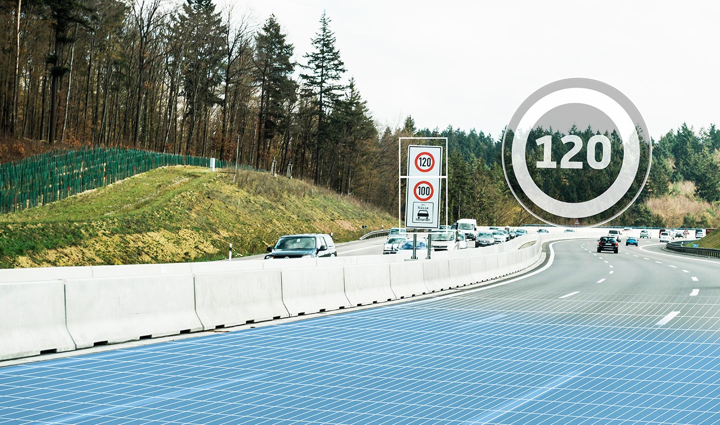
Many European countries deploy weather-dependent speed limits, which are prone to misinterpretation by cameras.
While technologies such as the ISA can be lifesaving, cameras are unfortunately still fallible – and it is therefore essential to leverage content from the TomTom ADAS Map, thus being able to consistently deliver accurate speed limit information.
Benefits of TomTom ADAS Map Speed Limits
Since 2012, TomTom has sourced new map content for L0 to L2 driver-assistance levels. The TomTom ADAS Map gives vehicles insight of the road ahead, beyond the limited range of sensors.
The use of speed limits incorporated in the ADAS Map provides various advantages that cameras may be lacking.
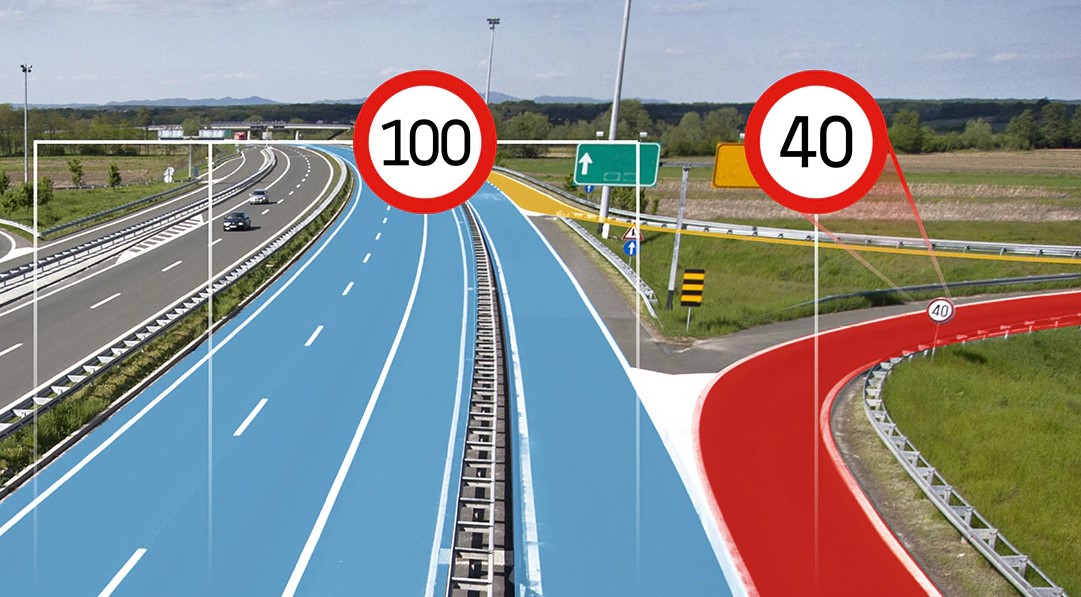
Containing a database for more than 100 countries, the ADAS map includes verified and highly accurate road geometry such as curvature and gradient, lane information, traffic signs and speed limit information.
TomTom ADAS Map Speed Limits have attributes that indicate the allowed legal speed limit to a certain road segment and vehicle type.
In addition, ADAS Map Speed Limits also take into account the different types of speed limits, which would add more safety points for the NCAP vehicle criteria due to its more granular speed limit information.
The following types of speed limits are:
-
Explicit speed limits, which could be captured from posted speed limit signs.
-
Conditional speed limits that can be, for example, vehicle-specific, weather dependent, time-dependent and others.
-
Implicit speed limits which are present when, for example, entering an administrative area.
Fortunately, you don’t need a complete navigation map onboard for these ISA functions. TomTom map delivery services such as TomTom AutoStream can efficiently deliver a lightweight standalone map containing only the essential road and speed limit information. With these features, driving can be an even safer and more stress-free experience.
Who uses ADAS Map Speed Limits?
Due to the attributes that our TomTom ADAS Map provides, many automotive customers work with TomTom and already utilize these applications in Europe and North America.
For example, our ADAS Map is used by Daimler Trucks in the IPPC+ function. By knowing the new speed limit in advance, trucks are able to adapt its speed safely and carefully. This is much more efficient and safer than abruptly accelerating or decelerating a heavily loaded truck.
We also work with Alfa Romeo and many others to incorporate our ADAS Map content such as speed limits for ISA and similar functions.
From: TomTom Blog
RELATED POST